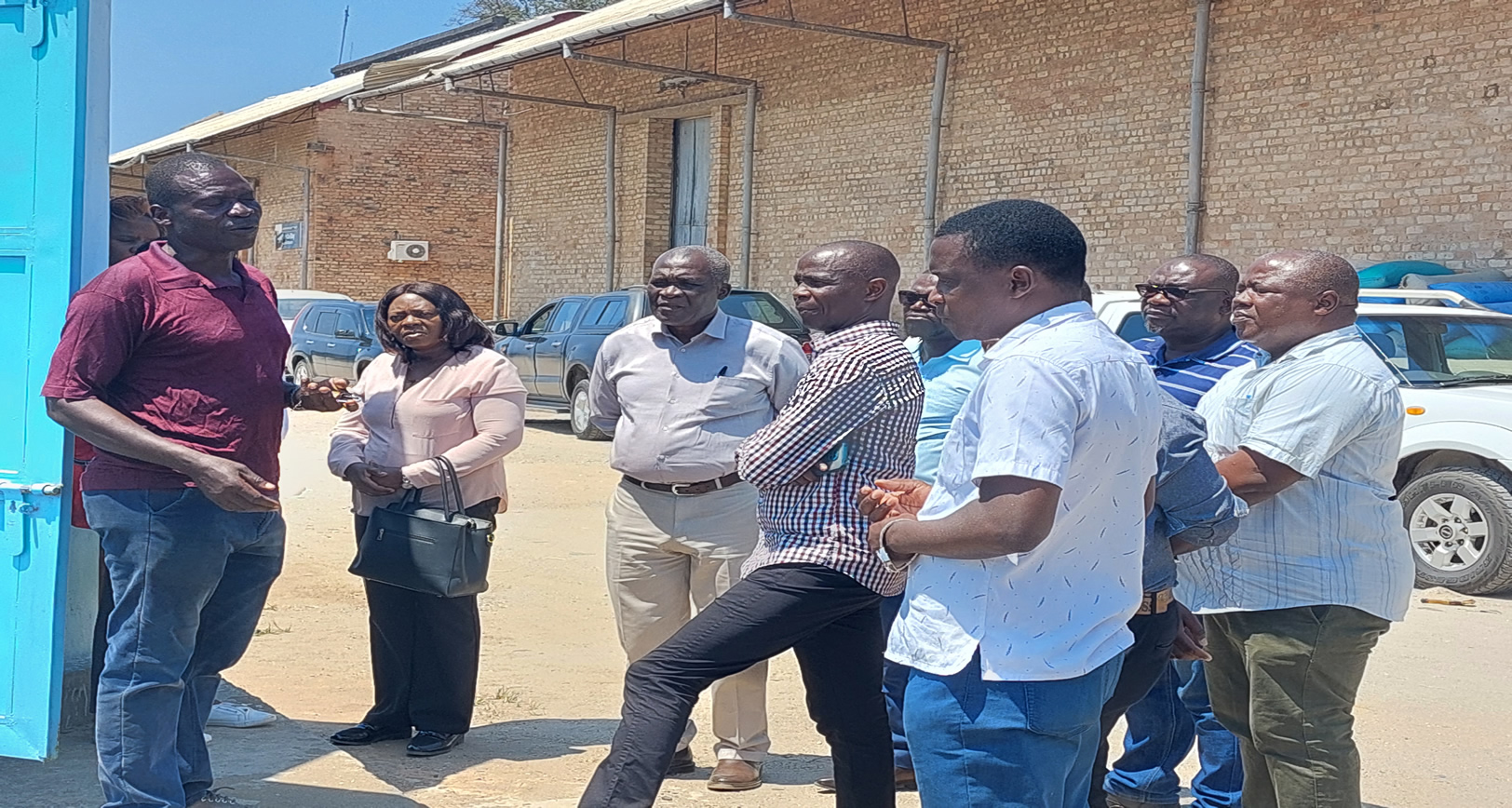
The Lake Malawi levels are determined through mathematical computation of figures collected from three gauge stations along the Lake. These stations are Monkebay in Mangochi, Nkhatabay Jetty in Nkhata-bay and Chilumba in Karonga.The stations have both the manual gauge staffs and the automated system. The automated data has to be validated with the manual data before it could be used. The lake levels this year have been the highest for the past eleven (11) years. The computed level is very important for a number of stakeholders especially the Marine department, Fisheries department , Tourism industry and Meteorological services.
The purposes of the visit were:
-
To understand how the gauge stations along the Lake work and how data is transmitted. The also entailed appreciating the physical state of the gauge station
-
To appreciate how the lake levels have been in the hydrological yea
-
To appreciate the challenges being encountered and possible discussion on the how best to solve them at the operation level


